Difference between revisions of "File:Erie Bathymetry.jpg"
From TSAS Library
JStallings (talk | contribs) |
JStallings (talk | contribs) (JStallings uploaded a new version of File:Erie Bathymetry.jpg) |
(No difference)
| |
Latest revision as of 13:25, 11 June 2017
Partial Erie bathymetry cut with MPCNC, map from NOAA, processed with QGIS and Aspire 8.5
File history
Click on a date/time to view the file as it appeared at that time.
| Date/Time | Thumbnail | Dimensions | User | Comment | |
|---|---|---|---|---|---|
| current | 13:25, 11 June 2017 | 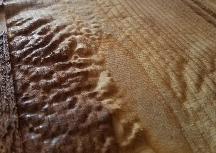 | 736 × 519 (162 KB) | JStallings (talk | contribs) | Cropped version |
| 13:22, 11 June 2017 | 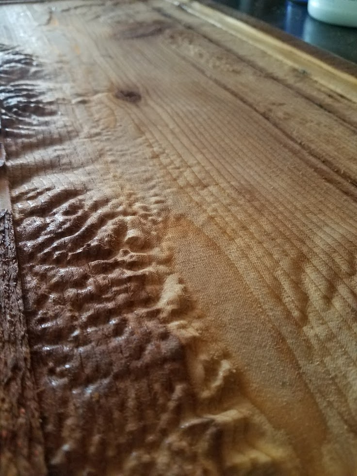 | 736 × 981 (150 KB) | JStallings (talk | contribs) |
You cannot overwrite this file.
File usage
The following page uses this file: